Heol las ger Penycoed / A green lane near Penycoed
Introduction
The photograph on this page of Heol las ger Penycoed / A green lane near Penycoed by Alan Richards as part of the Geograph project.
The Geograph project started in 2005 with the aim of publishing, organising and preserving representative images for every square kilometre of Great Britain, Ireland and the Isle of Man.

There are currently over 7.5m images from over 14,400 individuals and you can help contribute to the project by visiting https://www.geograph.org.uk
Heol las ger Penycoed / A green lane near Penycoed
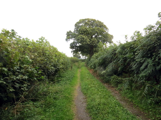
Image: © Alan Richards Taken: 23 Aug 2020
Heol las yn agosau at ffordd fach ger Ffarm Penycoed. A green lane approaching a minor road near Penycoed Farm (trans. end of the wood).
Images are licensed for reuse under creativecommons.org/licenses/by-sa/2.0
Image Location
Latitude
51.87448
Longitude
-4.119775