Wandle Park
Introduction
The photograph on this page of Wandle Park by Marathon as part of the Geograph project.
The Geograph project started in 2005 with the aim of publishing, organising and preserving representative images for every square kilometre of Great Britain, Ireland and the Isle of Man.

There are currently over 7.5m images from over 14,400 individuals and you can help contribute to the project by visiting https://www.geograph.org.uk
Wandle Park
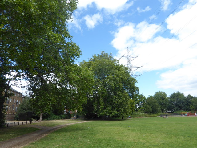
Image: © Marathon Taken: 1 Aug 2020
Wandle Park was once the site of Wandlebank House and grounds. The land was purchased by Wimbledon Corporation for a public park and vested in the National Trust, and the park opened in 1907. In 1910 the Mill Pond Garden was added, purchased by public subscription. In 2003 the park was redesigned to create more interest, the main feature being the reopening of the old sinuous course of the River Wandle through the park and the creation of a reed bed. The more recent straightened course of the Wandle alongside Wandle Bank still takes much of the flow but the flow in the old course is also substantial. A view of the redesigned river can be seen at https://www.geograph.org.uk/photo/2894734
Images are licensed for reuse under creativecommons.org/licenses/by-sa/2.0
Image Location
Latitude
51.419644
Longitude
-0.179983