Muddy field near Llan Farm
Introduction
The photograph on this page of Muddy field near Llan Farm by Trevor Rickard as part of the Geograph project.
The Geograph project started in 2005 with the aim of publishing, organising and preserving representative images for every square kilometre of Great Britain, Ireland and the Isle of Man.

There are currently over 7.5m images from over 14,400 individuals and you can help contribute to the project by visiting https://www.geograph.org.uk
Muddy field near Llan Farm
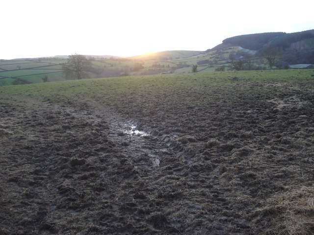
Image: © Trevor Rickard Taken: 9 Jan 2008
View south-west from the lane to the setting sun over Hodre Hill. The wooded Black Hill to the right.
Images are licensed for reuse under creativecommons.org/licenses/by-sa/2.0
Image Location
Latitude
52.407968
Longitude
-2.961648