Ponteland Road, Cowgate, Newcastle upon Tyne
Introduction
The photograph on this page of Ponteland Road, Cowgate, Newcastle upon Tyne by Graham Robson as part of the Geograph project.
The Geograph project started in 2005 with the aim of publishing, organising and preserving representative images for every square kilometre of Great Britain, Ireland and the Isle of Man.

There are currently over 7.5m images from over 14,400 individuals and you can help contribute to the project by visiting https://www.geograph.org.uk
Ponteland Road, Cowgate, Newcastle upon Tyne
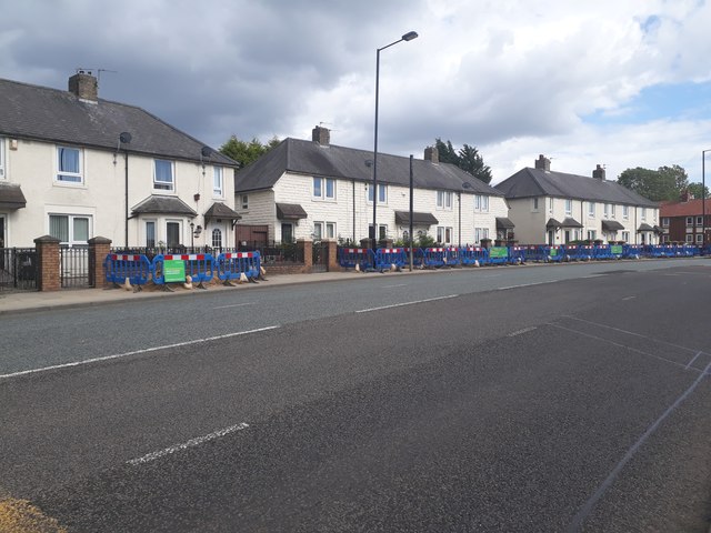
Image: © Graham Robson Taken: 6 Jul 2020
Looking across Ponteland Road towards terraced houses on the eastern side of the road. The barriers on blocking off the pavement in front of the houses indicate that the cause for the work is the installation of new high speed broadband infrastructure.
Images are licensed for reuse under creativecommons.org/licenses/by-sa/2.0
Image Location
Latitude
54.993595
Longitude
-1.658616