The River Eden
Introduction
The photograph on this page of The River Eden by Thomas Nugent as part of the Geograph project.
The Geograph project started in 2005 with the aim of publishing, organising and preserving representative images for every square kilometre of Great Britain, Ireland and the Isle of Man.

There are currently over 7.5m images from over 14,400 individuals and you can help contribute to the project by visiting https://www.geograph.org.uk
The River Eden
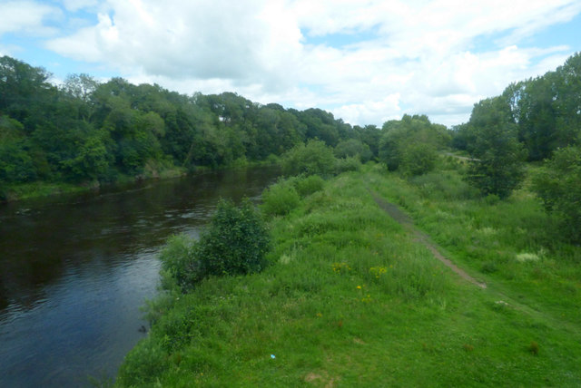
Image: © Thomas Nugent Taken: 6 Jul 2020
Hadrian's Wall Path can also be seen. Viewed from a south bound train on the West Coast Main Line.
Images are licensed for reuse under creativecommons.org/licenses/by-sa/2.0
Image Location
Latitude
54.904507
Longitude
-2.954099