A view down Penglais Hill
Introduction
The photograph on this page of A view down Penglais Hill by John Lucas as part of the Geograph project.
The Geograph project started in 2005 with the aim of publishing, organising and preserving representative images for every square kilometre of Great Britain, Ireland and the Isle of Man.

There are currently over 7.5m images from over 14,400 individuals and you can help contribute to the project by visiting https://www.geograph.org.uk
A view down Penglais Hill
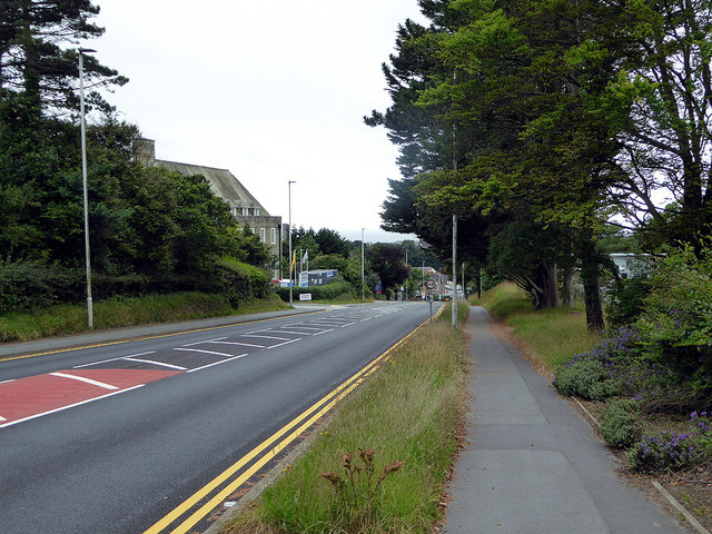
Image: © John Lucas Taken: 16 Jul 2020
The A487 road leading into Aberystwyth, the centre of which is about ½ a mile down the hill.
Images are licensed for reuse under creativecommons.org/licenses/by-sa/2.0
Image Location
Latitude
52.417225
Longitude
-4.069691