Site of Stafford Common Railway Station
Introduction
The photograph on this page of Site of Stafford Common Railway Station by Oliver Mills as part of the Geograph project.
The Geograph project started in 2005 with the aim of publishing, organising and preserving representative images for every square kilometre of Great Britain, Ireland and the Isle of Man.

There are currently over 7.5m images from over 14,400 individuals and you can help contribute to the project by visiting https://www.geograph.org.uk
Site of Stafford Common Railway Station
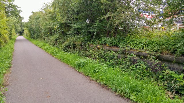
Image: © Oliver Mills Taken: 14 Jul 2020
This section of railway has been converted to a footpath and cycle route, connecting the A513 road to the centre of Stafford. The platforms of the station are visible on the right.
Images are licensed for reuse under creativecommons.org/licenses/by-sa/2.0
Image Location
Latitude
52.821486
Longitude
-2.116891