Milton Creek Country Park
Introduction
The photograph on this page of Milton Creek Country Park by Marathon as part of the Geograph project.
The Geograph project started in 2005 with the aim of publishing, organising and preserving representative images for every square kilometre of Great Britain, Ireland and the Isle of Man.

There are currently over 7.5m images from over 14,400 individuals and you can help contribute to the project by visiting https://www.geograph.org.uk
Milton Creek Country Park
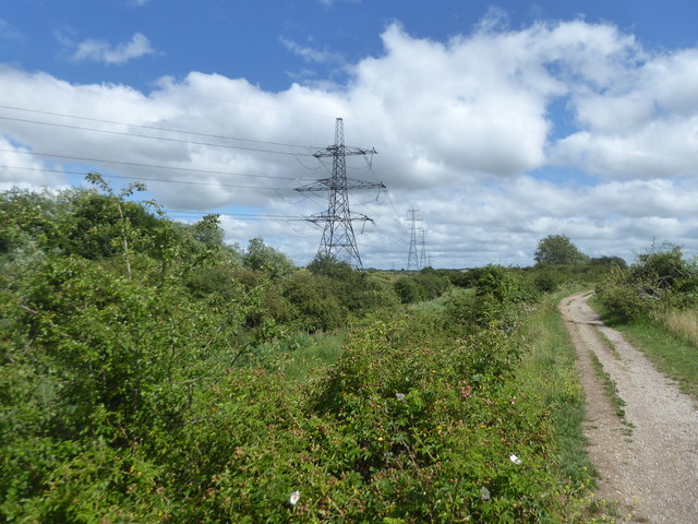
Image: © Marathon Taken: 27 Jun 2020
Milton Creek Country Park consists of 128 acres of a former landfill site. The physical work of developing the Country Park actually began in 2003 with the capping of the landfill site. For more information about the Country Park see the website for https://miltoncreek.co.uk/ There is a Friends of Milton Creek - see https://miltoncreek.co.uk/about/the-friends/ This photograph is taken from a high bank which arcs round on the inner edge of the Country Park.
Images are licensed for reuse under creativecommons.org/licenses/by-sa/2.0
Image Location
Latitude
51.358986
Longitude
0.749144