Frog Lane, West Malling
Introduction
The photograph on this page of Frog Lane, West Malling by Marathon as part of the Geograph project.
The Geograph project started in 2005 with the aim of publishing, organising and preserving representative images for every square kilometre of Great Britain, Ireland and the Isle of Man.

There are currently over 7.5m images from over 14,400 individuals and you can help contribute to the project by visiting https://www.geograph.org.uk
Frog Lane, West Malling
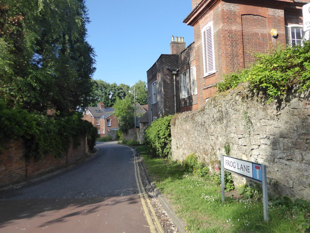
Image: © Marathon Taken: 21 Jun 2020
West Malling was established shortly after 1100 and today's town centre retains its medieval plan with many 17th and 18th century facades hiding much older buildings. This view is of Frog Lane. A stream flows down the right hand side of Frog Lane under bridges to the houses. The stream has come down from the lake in Manor Park Country Park and then passed through the grounds of St Mary's Abbey before coming out at the cascade on the other side of Swan Street from here, seen at https://www.geograph.org.uk/photo/6517598
Images are licensed for reuse under creativecommons.org/licenses/by-sa/2.0
Image Location
Latitude
51.294176
Longitude
0.413043