VE Day bunting, Inverkip
Introduction
The photograph on this page of VE Day bunting, Inverkip by Thomas Nugent as part of the Geograph project.
The Geograph project started in 2005 with the aim of publishing, organising and preserving representative images for every square kilometre of Great Britain, Ireland and the Isle of Man.

There are currently over 7.5m images from over 14,400 individuals and you can help contribute to the project by visiting https://www.geograph.org.uk
VE Day bunting, Inverkip
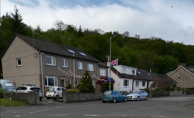
Image: © Thomas Nugent Taken: 8 May 2020
Large scale celebrations on the 75th Anniversary of VE Day were cancelled, but a few people made the effort to mark the occasion, such as the occupants of these houses on Main Street.
Images are licensed for reuse under creativecommons.org/licenses/by-sa/2.0
Image Location


Leaflet Map data © OpenStreetMap
Latitude
55.907142
Longitude
-4.874263