Melbourn: the rear of the United Reformed Church
Introduction
The photograph on this page of Melbourn: the rear of the United Reformed Church by John Sutton as part of the Geograph project.
The Geograph project started in 2005 with the aim of publishing, organising and preserving representative images for every square kilometre of Great Britain, Ireland and the Isle of Man.

There are currently over 7.5m images from over 14,400 individuals and you can help contribute to the project by visiting https://www.geograph.org.uk
Melbourn: the rear of the United Reformed Church
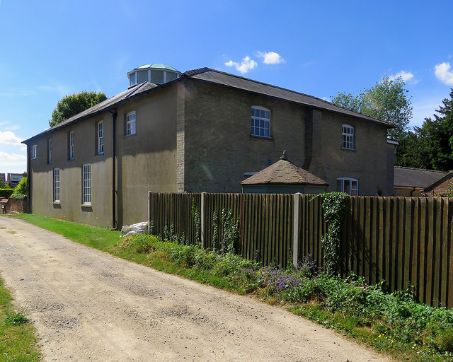
Image: © John Sutton Taken: 13 Jun 2020
A summer-morning view from Chapel Lane. This was built as a Congregational Meeting House about 1716. For more about it, see Image] taken a short while earlier.
Images are licensed for reuse under creativecommons.org/licenses/by-sa/2.0
Image Location
Latitude
52.081329
Longitude
0.016255