Lane alongside the A46
Introduction
The photograph on this page of Lane alongside the A46 by Alan Murray-Rust as part of the Geograph project.
The Geograph project started in 2005 with the aim of publishing, organising and preserving representative images for every square kilometre of Great Britain, Ireland and the Isle of Man.

There are currently over 7.5m images from over 14,400 individuals and you can help contribute to the project by visiting https://www.geograph.org.uk
Lane alongside the A46
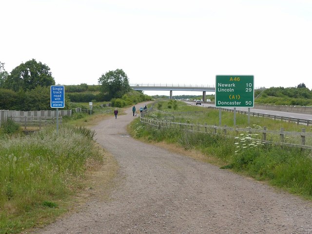
Image: © Alan Murray-Rust Taken: 7 Jun 2020
The extension of Springdale Lane towards Butt Lane, clearly devised for vehicles, and also designated as part of National Cycle Route 48, it is currently only mapped as a designated public footpath.
Images are licensed for reuse under creativecommons.org/licenses/by-sa/2.0
Image Location
Latitude
52.975697
Longitude
-0.954076