Roughly vegetated area in Frosterley
Introduction
The photograph on this page of Roughly vegetated area in Frosterley by Trevor Littlewood as part of the Geograph project.
The Geograph project started in 2005 with the aim of publishing, organising and preserving representative images for every square kilometre of Great Britain, Ireland and the Isle of Man.

There are currently over 7.5m images from over 14,400 individuals and you can help contribute to the project by visiting https://www.geograph.org.uk
Roughly vegetated area in Frosterley
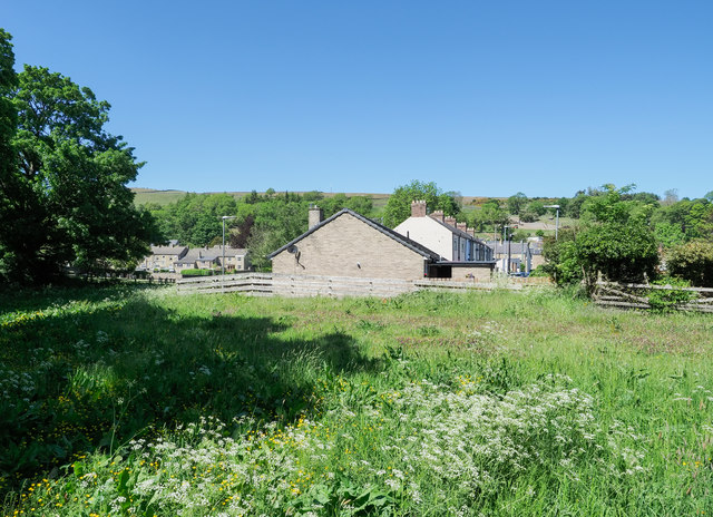
Image: © Trevor Littlewood Taken: 1 Jun 2020
The area, to the north side of a path on the south side of the village could be considered to be a small field but apparently it sees no current agricultural use.
Images are licensed for reuse under creativecommons.org/licenses/by-sa/2.0
Image Location
Latitude
54.726452
Longitude
-1.958046