Trinity Network, Nesfield Road, Belle Isle
Introduction
The photograph on this page of Trinity Network, Nesfield Road, Belle Isle by Stephen Craven as part of the Geograph project.
The Geograph project started in 2005 with the aim of publishing, organising and preserving representative images for every square kilometre of Great Britain, Ireland and the Isle of Man.

There are currently over 7.5m images from over 14,400 individuals and you can help contribute to the project by visiting https://www.geograph.org.uk
Trinity Network, Nesfield Road, Belle Isle
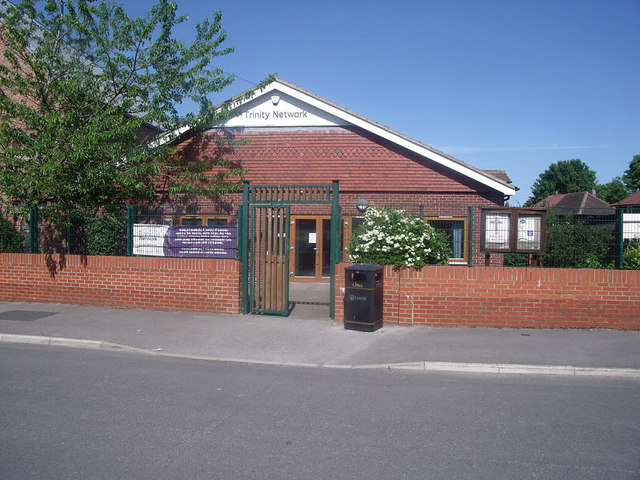
Image: © Stephen Craven Taken: 28 May 2020
This is the church hall associated with the URC place of worship next door Image It is the base of the church-run "Trinity Network" which according to its website "has been providing day facilities for older people in South Leeds for over 30 years".
Images are licensed for reuse under creativecommons.org/licenses/by-sa/2.0
Image Location
Latitude
53.752911
Longitude
-1.524219