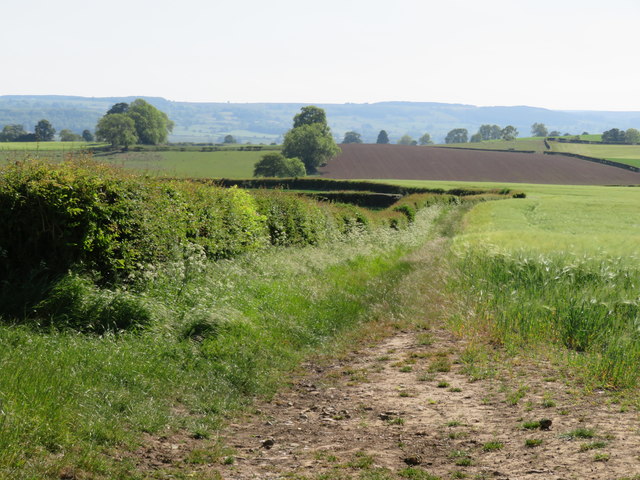
A rather odd track
Introduction
The photograph on this page of A rather odd track by Gordon Hatton as part of the Geograph project.
The Geograph project started in 2005 with the aim of publishing, organising and preserving representative images for every square kilometre of Great Britain, Ireland and the Isle of Man.
There are currently over 7.5m images from over 14,400 individuals and you can help contribute to the project by visiting https://www.geograph.org.uk

Image: © Gordon Hatton Taken: 30 May 2020
This track is marked as 'Other route with public access', which usually means that its status is above that of a footpath or bridleway. The odd feature of this route is that the green dots only go as far as the parish boundary, whilst at the other end at Rookwith the green dots extend to Rookwith Grange leaving a gap of some 500m in the middle. An intrepid explorer required to walk or cycle through.

