Holy Trinity, Bramley (Surrey) - south elevation
Introduction
The photograph on this page of Holy Trinity, Bramley (Surrey) - south elevation by David Kemp as part of the Geograph project.
The Geograph project started in 2005 with the aim of publishing, organising and preserving representative images for every square kilometre of Great Britain, Ireland and the Isle of Man.

There are currently over 7.5m images from over 14,400 individuals and you can help contribute to the project by visiting https://www.geograph.org.uk
Holy Trinity, Bramley (Surrey) - south elevation
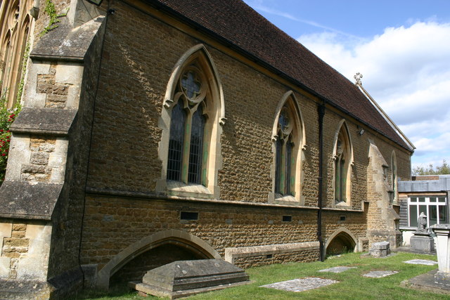
Image: © David Kemp Taken: 16 May 2020
Although the chancel dates is C13, most of the church was rebuilt in the C19 and faced in local Bargate stone. The south frontage seen here dates from 1875.
Images are licensed for reuse under creativecommons.org/licenses/by-sa/2.0
Image Location
Latitude
51.194336
Longitude
-0.557692