Damaged benchmark on a house
Introduction
The photograph on this page of Damaged benchmark on a house by Neville Goodman as part of the Geograph project.
The Geograph project started in 2005 with the aim of publishing, organising and preserving representative images for every square kilometre of Great Britain, Ireland and the Isle of Man.

There are currently over 7.5m images from over 14,400 individuals and you can help contribute to the project by visiting https://www.geograph.org.uk
Damaged benchmark on a house
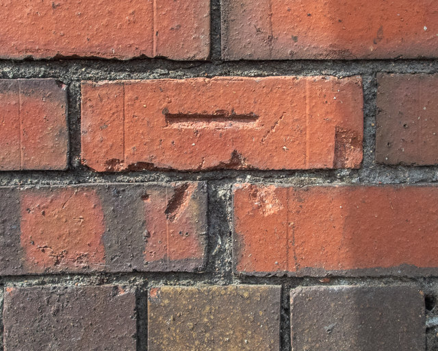
Image: © Neville Goodman Taken: 17 May 2020
This cut benchmark in Grove Road Image (OS description: NE FACE WALL NO57 GROVE RD) has been damaged at some time, perhaps when the wall was repointed.
Images are licensed for reuse under creativecommons.org/licenses/by-sa/2.0
Image Location
Latitude
51.497367
Longitude
-2.644449