Site of Ringley Road Station, The Outwood Trail
Introduction
The photograph on this page of Site of Ringley Road Station, The Outwood Trail by David Dixon as part of the Geograph project.
The Geograph project started in 2005 with the aim of publishing, organising and preserving representative images for every square kilometre of Great Britain, Ireland and the Isle of Man.

There are currently over 7.5m images from over 14,400 individuals and you can help contribute to the project by visiting https://www.geograph.org.uk
Site of Ringley Road Station, The Outwood Trail
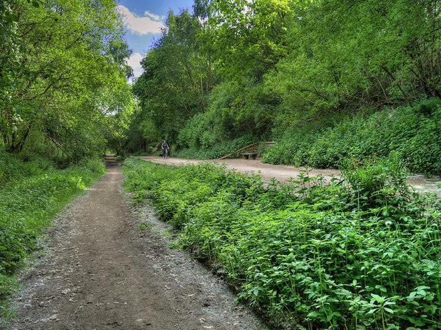
Image: © David Dixon Taken: 13 May 2020
Ringley Road station opened on 31st May 1847. It was on the East Lancashire Railway’s Clifton Junction to Accrington line, located in a deep cutting on the north side of Ringley Road. The line here was double-track so the station was provided with two platforms. Although there was little residential development nearby, Outwood Colliery was just to the east of the line and had a rail connection, north of the station. In 1931 Outwood Colliery, which in its heyday had employed 2000 men, closed following a fire which destroyed its winding gear. The station survived until 1953 when it was closed although trains continued to pass through the station site until December 1966 when the line was closed. The track was lifted shortly afterwards. The station’s northbound platform survived and can be seen in this photograph. The route of the line through to Radcliffe has been converted into a footpath and cycleway known as the Outwood Trail. http://disused-stations.org.uk/r/ringley_road/index.shtml Disused Stations.
Images are licensed for reuse under creativecommons.org/licenses/by-sa/2.0
Image Location
Latitude
53.547629
Longitude
-2.340891