Some rings on the old farm
Introduction
The photograph on this page of Some rings on the old farm by Neil Owen as part of the Geograph project.
The Geograph project started in 2005 with the aim of publishing, organising and preserving representative images for every square kilometre of Great Britain, Ireland and the Isle of Man.

There are currently over 7.5m images from over 14,400 individuals and you can help contribute to the project by visiting https://www.geograph.org.uk
Some rings on the old farm
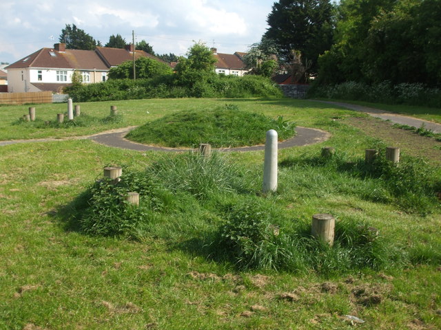
Image: © Neil Owen Taken: 7 May 2020
This site used to be Hengrove Farm (now lost post-war, with the farmhouse now covered by the houses in the background). Its location was primarily concerned with a quarry, which is now a pleasant open green space. However, these ring features are a very recent addition which do not appear to have any historical relevance.
Images are licensed for reuse under creativecommons.org/licenses/by-sa/2.0
Image Location
Latitude
51.423561
Longitude
-2.572073