Houses on Dowson Road
Introduction
The photograph on this page of Houses on Dowson Road by Gerald England as part of the Geograph project.
The Geograph project started in 2005 with the aim of publishing, organising and preserving representative images for every square kilometre of Great Britain, Ireland and the Isle of Man.

There are currently over 7.5m images from over 14,400 individuals and you can help contribute to the project by visiting https://www.geograph.org.uk
Houses on Dowson Road
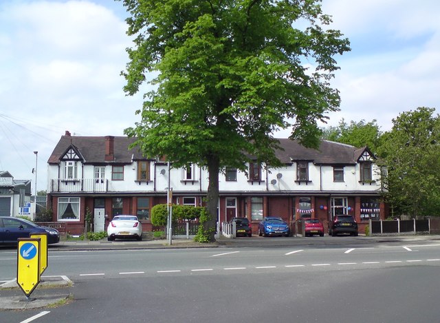
Image: © Gerald England Taken: 8 May 2020
These were the first houses to be built after Dowson Road was opened in the 1930s.
Images are licensed for reuse under creativecommons.org/licenses/by-sa/2.0
Image Location
Latitude
53.443286
Longitude
-2.07614