Footpath Towards Oatlands Drive
Introduction
The photograph on this page of Footpath Towards Oatlands Drive by James Emmans as part of the Geograph project.
The Geograph project started in 2005 with the aim of publishing, organising and preserving representative images for every square kilometre of Great Britain, Ireland and the Isle of Man.

There are currently over 7.5m images from over 14,400 individuals and you can help contribute to the project by visiting https://www.geograph.org.uk
Footpath Towards Oatlands Drive
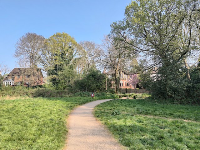
Image: © James Emmans Taken: 10 Apr 2020
An old unnamed farm track runs to the Broad Water Lake and farmland is between the houses here.
Images are licensed for reuse under creativecommons.org/licenses/by-sa/2.0
Image Location
Latitude
51.383606
Longitude
-0.430175