The local Fire Guard Station.
Introduction
The photograph on this page of The local Fire Guard Station. by Eric Woodhouse as part of the Geograph project.
The Geograph project started in 2005 with the aim of publishing, organising and preserving representative images for every square kilometre of Great Britain, Ireland and the Isle of Man.

There are currently over 7.5m images from over 14,400 individuals and you can help contribute to the project by visiting https://www.geograph.org.uk
The local Fire Guard Station.
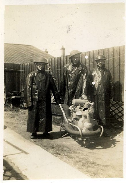
Image: © Eric Woodhouse Taken: Unknown
The Photograph was taken in 1940 (World War 2)
Images are licensed for reuse under creativecommons.org/licenses/by-sa/2.0
Image Location
Latitude
52.075294
Longitude
1.128647