Old Boundary Stone at Old Sleningford
Introduction
The photograph on this page of Old Boundary Stone at Old Sleningford by Matthew Hatton as part of the Geograph project.
The Geograph project started in 2005 with the aim of publishing, organising and preserving representative images for every square kilometre of Great Britain, Ireland and the Isle of Man.

There are currently over 7.5m images from over 14,400 individuals and you can help contribute to the project by visiting https://www.geograph.org.uk
Old Boundary Stone at Old Sleningford
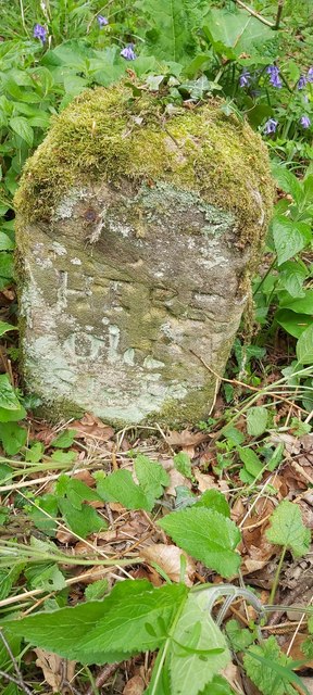
Image: © Matthew Hatton Taken: 29 Apr 2020
Strange prose 'Here Old Sleningford Ends' although it is still the boundary with Grewelthorpe & Mickley
Images are licensed for reuse under creativecommons.org/licenses/by-sa/2.0
Image Location
Latitude
54.185312
Longitude
-1.597727