Public Footpath near Shiremoor
Introduction
The photograph on this page of Public Footpath near Shiremoor by Geoff Holland as part of the Geograph project.
The Geograph project started in 2005 with the aim of publishing, organising and preserving representative images for every square kilometre of Great Britain, Ireland and the Isle of Man.

There are currently over 7.5m images from over 14,400 individuals and you can help contribute to the project by visiting https://www.geograph.org.uk
Public Footpath near Shiremoor
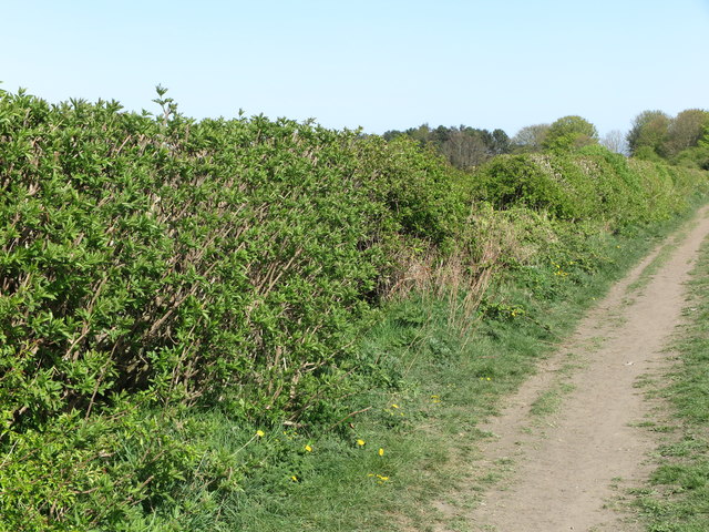
Image: © Geoff Holland Taken: 22 Apr 2020
This public footpath leads from Earsdon Road to Otterburn Avenue, South Wellfield, and follows the course of an old path which, at the time of the publication of the Ordnance Survey Six-Inch map of the area in 1898, served the now-disappeared Earsdon Grange Cottages. It follows quickly after the section of public footpath shown at https://www.geograph.org.uk/photo/6451099. For a section of detailed free to download walking routes in the area visit www.northtynesidewalks.co.uk
Images are licensed for reuse under creativecommons.org/licenses/by-sa/2.0
Image Location
Latitude
55.040216
Longitude
-1.497827