B4364 at Cockshutt
Introduction
The photograph on this page of B4364 at Cockshutt by Derek Harper as part of the Geograph project.
The Geograph project started in 2005 with the aim of publishing, organising and preserving representative images for every square kilometre of Great Britain, Ireland and the Isle of Man.

There are currently over 7.5m images from over 14,400 individuals and you can help contribute to the project by visiting https://www.geograph.org.uk
B4364 at Cockshutt
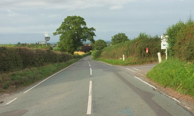
Image: © Derek Harper Taken: 26 Jul 2019
A bridleway leaves the road on the left here; Image] and Image were taken from the start of it looking parallel to this image. On the right, at the corner of the lane to Oldfield, is Elizabeth II postbox WV16 74.
Images are licensed for reuse under creativecommons.org/licenses/by-sa/2.0
Image Location
Latitude
52.501232
Longitude
-2.485792