Stubble field near Netherburn
Introduction
The photograph on this page of Stubble field near Netherburn by Alan O'Dowd as part of the Geograph project.
The Geograph project started in 2005 with the aim of publishing, organising and preserving representative images for every square kilometre of Great Britain, Ireland and the Isle of Man.

There are currently over 7.5m images from over 14,400 individuals and you can help contribute to the project by visiting https://www.geograph.org.uk
Stubble field near Netherburn
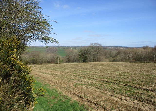
Image: © Alan O'Dowd Taken: 13 Apr 2020
Farmland sloping down to the Clyde, viewed from a path leading down to Overton Brae. The whins by the edge of the path are beginning to bloom, but haven't yet reached their full yellow intensity.
Images are licensed for reuse under creativecommons.org/licenses/by-sa/2.0
Image Location
Latitude
55.712616
Longitude
-3.898983