High Cedars
Introduction
The photograph on this page of High Cedars by Ian Capper as part of the Geograph project.
The Geograph project started in 2005 with the aim of publishing, organising and preserving representative images for every square kilometre of Great Britain, Ireland and the Isle of Man.

There are currently over 7.5m images from over 14,400 individuals and you can help contribute to the project by visiting https://www.geograph.org.uk
High Cedars
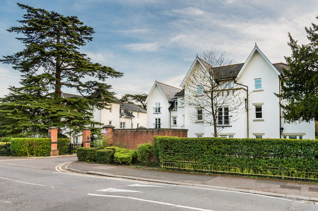
Image: © Ian Capper Taken: 7 Apr 2020
Development on Wray Park Road consisting of 23 apartments in two blocks, completed in 2007.
Images are licensed for reuse under creativecommons.org/licenses/by-sa/2.0
Image Location
Latitude
51.243761
Longitude
-0.200087