Old Milestone by the A388, south of Wooda Bridge
Introduction
The photograph on this page of Old Milestone by the A388, south of Wooda Bridge by Rosy Hanns as part of the Geograph project.
The Geograph project started in 2005 with the aim of publishing, organising and preserving representative images for every square kilometre of Great Britain, Ireland and the Isle of Man.

There are currently over 7.5m images from over 14,400 individuals and you can help contribute to the project by visiting https://www.geograph.org.uk
Old Milestone by the A388, south of Wooda Bridge
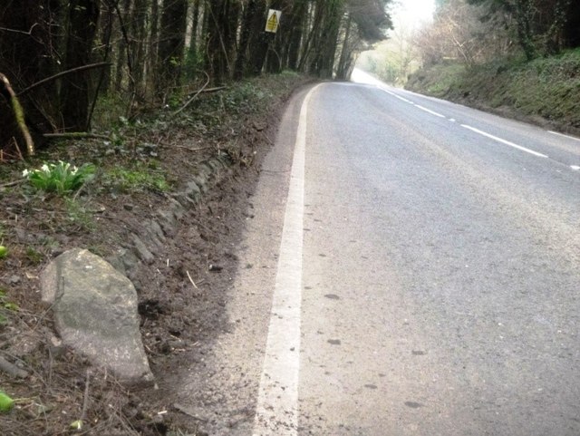
Image: © Rosy Hanns Taken: 30 Mar 2019
Carved stone post by the A388, in parish of STOKECLIMSLAND (NORTH CORNWALL District), Lower Norton Farm, South of Wooda Bridge toll house, sunk into ground and buried in bank, on East side of road. Callington 'HB' stone, erected by the Local Highways Board in the 19th century. Inscription once read:- : (C / 4½) : : (L / 6) : Carved benchmark and rivet on top. Cornwall & Scilly HER. HER Number: 178409 https://www.heritagegateway.org.uk/Gateway/Results_Single.aspx?uid=MCO54185&resourceID=1020 Milestone Society National ID: CW_LACL06
Images are licensed for reuse under creativecommons.org/licenses/by-sa/2.0
Image Location
Latitude
50.56499
Longitude
-4.333954