Dunkeswell : Fancy Farm
Introduction
The photograph on this page of Dunkeswell : Fancy Farm by Lewis Clarke as part of the Geograph project.
The Geograph project started in 2005 with the aim of publishing, organising and preserving representative images for every square kilometre of Great Britain, Ireland and the Isle of Man.

There are currently over 7.5m images from over 14,400 individuals and you can help contribute to the project by visiting https://www.geograph.org.uk
Dunkeswell : Fancy Farm
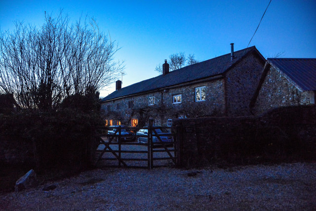
Image: © Lewis Clarke Taken: 23 Mar 2020
Fancy Farmhouse - - II Farmhouse. Early - mid C17, enlarged and partly rearranged in the late C19, modernised circa 1970. https://historicengland.org.uk/listing/the-list/list-entry/1166228
Images are licensed for reuse under creativecommons.org/licenses/by-sa/2.0
Image Location
Latitude
50.86236
Longitude
-3.217517