River Thames Path under Maidenhead
Introduction
The photograph on this page of River Thames Path under Maidenhead by Sean Davis as part of the Geograph project.
The Geograph project started in 2005 with the aim of publishing, organising and preserving representative images for every square kilometre of Great Britain, Ireland and the Isle of Man.

There are currently over 7.5m images from over 14,400 individuals and you can help contribute to the project by visiting https://www.geograph.org.uk
River Thames Path under Maidenhead
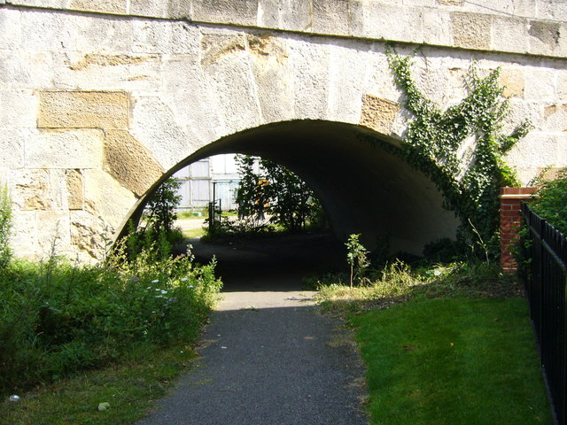
Image: © Sean Davis Taken: 28 Jul 2007
The Thames Path National Trail goes under Maidenhead Bridge, then right, right and right again to use the pavement over Maidenhead Bridge. It's clever as it means walkers don't have to cross the busy A4, Great West Road.
Images are licensed for reuse under creativecommons.org/licenses/by-sa/2.0
Image Location
Latitude
51.523919
Longitude
-0.701411