New housing and further development beside Gainsborough Road
Introduction
The photograph on this page of New housing and further development beside Gainsborough Road by phil Richards as part of the Geograph project.
The Geograph project started in 2005 with the aim of publishing, organising and preserving representative images for every square kilometre of Great Britain, Ireland and the Isle of Man.

There are currently over 7.5m images from over 14,400 individuals and you can help contribute to the project by visiting https://www.geograph.org.uk
New housing and further development beside Gainsborough Road
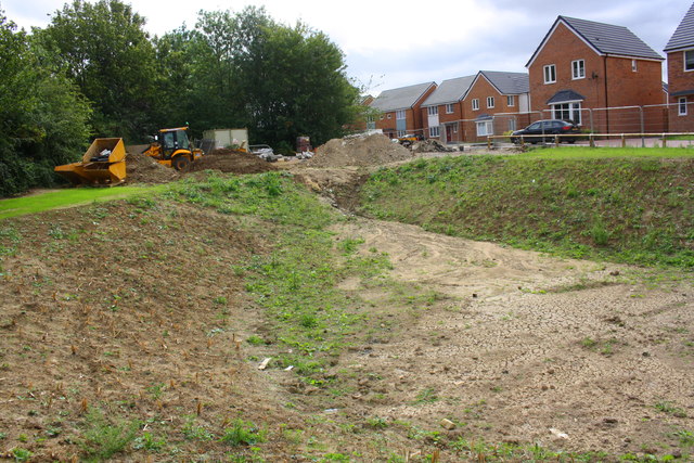
Image: © phil Richards Taken: 12 Sep 2019
This was the site of the Kingswood Grammar School which Ordnance Survey records indicate had a benchmark in 1983 levelled at 121.022m above Newlyn Datum.
Images are licensed for reuse under creativecommons.org/licenses/by-sa/2.0
Image Location
Latitude
52.477732
Longitude
-0.732397