A dry bow
Introduction
The photograph on this page of A dry bow by Neil Owen as part of the Geograph project.
The Geograph project started in 2005 with the aim of publishing, organising and preserving representative images for every square kilometre of Great Britain, Ireland and the Isle of Man.

There are currently over 7.5m images from over 14,400 individuals and you can help contribute to the project by visiting https://www.geograph.org.uk
A dry bow
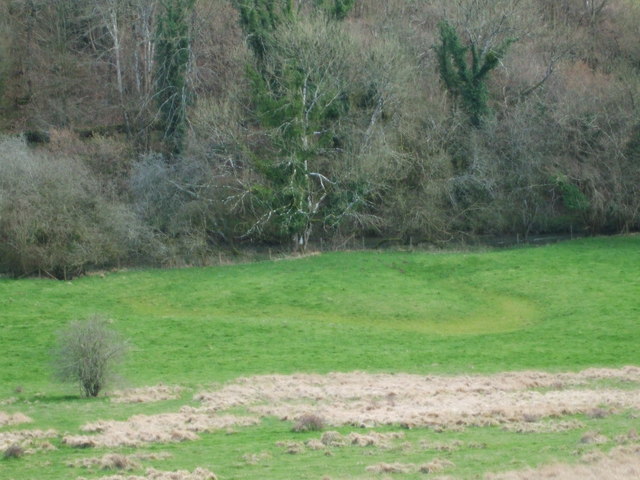
Image: © Neil Owen Taken: 13 Mar 2020
The By Brook takes a rather circuitous route in this part of the world, a consequence of some malleable soils. It has a lot of twists and turns, with ox-box formations aplenty. This feature opposite Fountain Wood looks like a dried up example.
Images are licensed for reuse under creativecommons.org/licenses/by-sa/2.0
Image Location
Latitude
51.475282
Longitude
-2.221398