A complex of farm buildings
Introduction
The photograph on this page of A complex of farm buildings by Trevor Littlewood as part of the Geograph project.
The Geograph project started in 2005 with the aim of publishing, organising and preserving representative images for every square kilometre of Great Britain, Ireland and the Isle of Man.

There are currently over 7.5m images from over 14,400 individuals and you can help contribute to the project by visiting https://www.geograph.org.uk
A complex of farm buildings
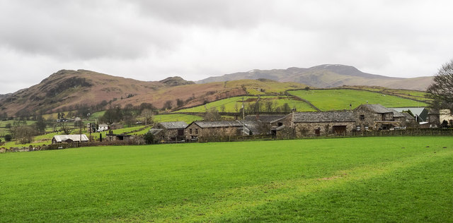
Image: © Trevor Littlewood Taken: 9 Mar 2020
Buildings at Burns Farm and Low Burns Farm appear to feature in the image. Low Rigg is the hill to the left with Bleaberry Fell higher, and more distant to the right.
Images are licensed for reuse under creativecommons.org/licenses/by-sa/2.0
Image Location
Latitude
54.608563
Longitude
-3.072727