Deepcut Farm
Introduction
The photograph on this page of Deepcut Farm by Nigel Mykura as part of the Geograph project.
The Geograph project started in 2005 with the aim of publishing, organising and preserving representative images for every square kilometre of Great Britain, Ireland and the Isle of Man.

There are currently over 7.5m images from over 14,400 individuals and you can help contribute to the project by visiting https://www.geograph.org.uk
Deepcut Farm
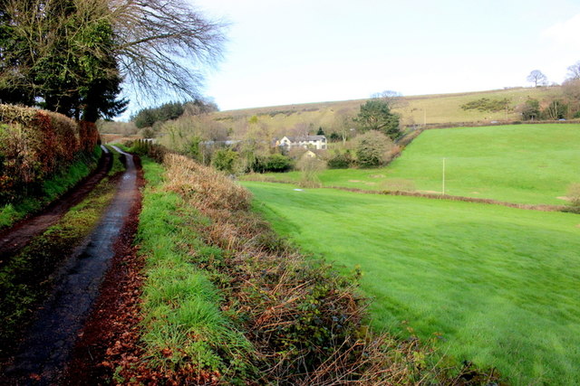
Image: © Nigel Mykura Taken: 29 Feb 2020
This is the view of the farm from Colcombe Lane. The farm lies in between the lane and the A35 which can be seen running along the side of the hill on the right of the image. The farm is no longer a working farm and there is a sizeable motor vehicle business on the site.
Images are licensed for reuse under creativecommons.org/licenses/by-sa/2.0
Image Location
Latitude
50.780237
Longitude
-3.082474