Road junction, Swanmore
Introduction
The photograph on this page of Road junction, Swanmore by Robin Webster as part of the Geograph project.
The Geograph project started in 2005 with the aim of publishing, organising and preserving representative images for every square kilometre of Great Britain, Ireland and the Isle of Man.

There are currently over 7.5m images from over 14,400 individuals and you can help contribute to the project by visiting https://www.geograph.org.uk
Road junction, Swanmore
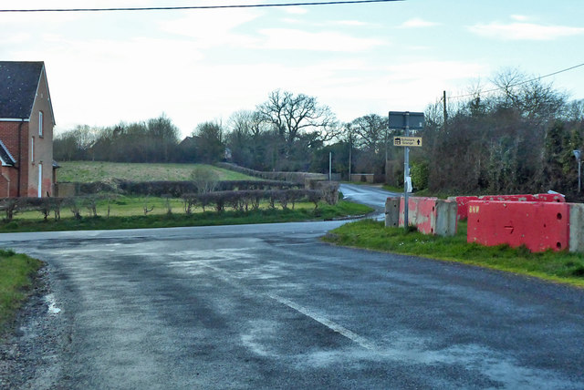
Image: © Robin Webster Taken: 1 Mar 2020
The concrete blocks are around the Hunters Inn plot, the pub having closed.
Images are licensed for reuse under creativecommons.org/licenses/by-sa/2.0
Image Location
Latitude
50.941146
Longitude
-1.173446