Hill road descending to Hope House
Introduction
The photograph on this page of Hill road descending to Hope House by Trevor Littlewood as part of the Geograph project.
The Geograph project started in 2005 with the aim of publishing, organising and preserving representative images for every square kilometre of Great Britain, Ireland and the Isle of Man.

There are currently over 7.5m images from over 14,400 individuals and you can help contribute to the project by visiting https://www.geograph.org.uk
Hill road descending to Hope House
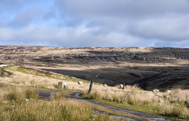
Image: © Trevor Littlewood Taken: 26 Feb 2020
Hope House is a remote building on the west side of Stanhope Burn; it was deserted for some time. When reoccupied it's believed to have seen use as some sort of animal sanctuary; that's probably not so now, in 2020. The erect stone with the nameplate 'Hope House' doesn't refer to the house itself but is an estate reference to a grouse shooting area, probably along the line of the hill track partly seen at the left side of the image.
Images are licensed for reuse under creativecommons.org/licenses/by-sa/2.0
Image Location


Leaflet Map data © OpenStreetMap
Latitude
54.772556
Longitude
-2.029814