Quayside, south of Denhall Quay, Little Neston
Introduction
The photograph on this page of Quayside, south of Denhall Quay, Little Neston by Christine Johnstone as part of the Geograph project.
The Geograph project started in 2005 with the aim of publishing, organising and preserving representative images for every square kilometre of Great Britain, Ireland and the Isle of Man.

There are currently over 7.5m images from over 14,400 individuals and you can help contribute to the project by visiting https://www.geograph.org.uk
Quayside, south of Denhall Quay, Little Neston
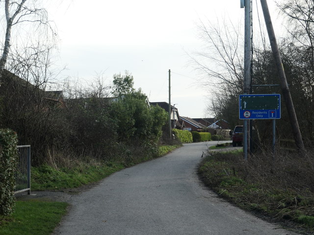
Image: © Christine Johnstone Taken: 2 Feb 2020
The road is a public footpath, but only residents are allowed to drive past the sign. What lies under the black tape?
Images are licensed for reuse under creativecommons.org/licenses/by-sa/2.0
Image Location
Latitude
53.275856
Longitude
-3.065304