Beside the Water of Ken
Introduction
The photograph on this page of Beside the Water of Ken by Richard Webb as part of the Geograph project.
The Geograph project started in 2005 with the aim of publishing, organising and preserving representative images for every square kilometre of Great Britain, Ireland and the Isle of Man.

There are currently over 7.5m images from over 14,400 individuals and you can help contribute to the project by visiting https://www.geograph.org.uk
Beside the Water of Ken
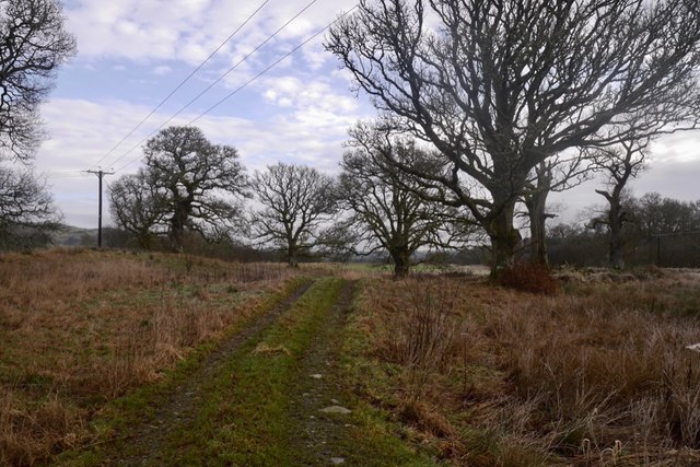
Image: © Richard Webb Taken: 19 Jan 2020
Scattered oaks just over a flood defence berm from the river at its confluence with burns and outflow from Glenlee Power Station.
Images are licensed for reuse under creativecommons.org/licenses/by-sa/2.0
Image Location
Latitude
55.096702
Longitude
-4.173883