Woodchurch Estate
Introduction
The photograph on this page of Woodchurch Estate by David Quinn as part of the Geograph project.
The Geograph project started in 2005 with the aim of publishing, organising and preserving representative images for every square kilometre of Great Britain, Ireland and the Isle of Man.

There are currently over 7.5m images from over 14,400 individuals and you can help contribute to the project by visiting https://www.geograph.org.uk
Woodchurch Estate
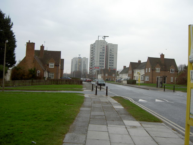
Image: © David Quinn Taken: 22 Dec 2007
A typical view of the Woodchurch estate, a large housing estate that has completely engulfed the former Woodchurch hamlet. There use to be more tower blocks, such as those in the picture, on the Upton by-pass, but these were torn down.
Images are licensed for reuse under creativecommons.org/licenses/by-sa/2.0
Image Location
Latitude
53.377709
Longitude
-3.084531