Parkfield Road in Wolverhampton
Introduction
The photograph on this page of Parkfield Road in Wolverhampton by Roger Kidd as part of the Geograph project.
The Geograph project started in 2005 with the aim of publishing, organising and preserving representative images for every square kilometre of Great Britain, Ireland and the Isle of Man.

There are currently over 7.5m images from over 14,400 individuals and you can help contribute to the project by visiting https://www.geograph.org.uk
Parkfield Road in Wolverhampton
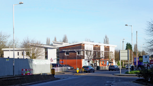
Image: © Roger Kidd Taken: 20 Jan 2020
Looking east towards Bilston, this is the A4039. Behind the grey fence used to be the Brindley Volvo car show rooms, but they have been demolished, and a banqueting hall is being built! The large building ahead on the left is the Phoenix (walk-in) Health Centre, including an Urgent Treatment Centre (not 24 hour).
Images are licensed for reuse under creativecommons.org/licenses/by-sa/2.0
Image Location
Latitude
52.566986
Longitude
-2.120195