Road to Burridge
Introduction
The photograph on this page of Road to Burridge by David Smith as part of the Geograph project.
The Geograph project started in 2005 with the aim of publishing, organising and preserving representative images for every square kilometre of Great Britain, Ireland and the Isle of Man.

There are currently over 7.5m images from over 14,400 individuals and you can help contribute to the project by visiting https://www.geograph.org.uk
Road to Burridge
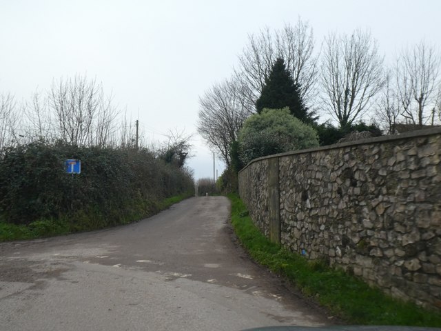
Image: © David Smith Taken: 30 Dec 2019
The road extends to Burridge Farm; after that, a footpath runs past the woods of Burridge Common along an old lane
Images are licensed for reuse under creativecommons.org/licenses/by-sa/2.0
Image Location
Latitude
50.852124
Longitude
-2.976739