Craichie Mill
Introduction
The photograph on this page of Craichie Mill by Mary Rodgers as part of the Geograph project.
The Geograph project started in 2005 with the aim of publishing, organising and preserving representative images for every square kilometre of Great Britain, Ireland and the Isle of Man.

There are currently over 7.5m images from over 14,400 individuals and you can help contribute to the project by visiting https://www.geograph.org.uk
Craichie Mill
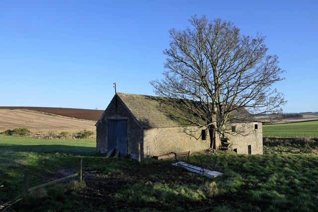
Image: © Mary Rodgers Taken: 3 Jan 2020
A Corn Mill driven by water situated near the village of Craichie, hence the name, & employed 3 Hands - Occupiers Messers Pitullo Property of George H. Dempster Esqr. Dunnichen 1857-1861 (Ordnance Survey Name Book Forfar (Angus) Volume 38) https://canmore.org.uk/site/34683/craichie-mill-watermill
Images are licensed for reuse under creativecommons.org/licenses/by-sa/2.0
Image Location
Latitude
56.610241
Longitude
-2.809721