Brownsword Cricket Ground, Lansdown
Introduction
The photograph on this page of Brownsword Cricket Ground, Lansdown by Derek Harper as part of the Geograph project.
The Geograph project started in 2005 with the aim of publishing, organising and preserving representative images for every square kilometre of Great Britain, Ireland and the Isle of Man.

There are currently over 7.5m images from over 14,400 individuals and you can help contribute to the project by visiting https://www.geograph.org.uk
Brownsword Cricket Ground, Lansdown
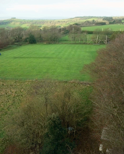
Image: © Derek Harper Taken: 7 Dec 2019
Like Image], a view from the belvedere on Beckford's Tower Image I said the weather was poor, but now I've fiddled around with contrast etc, I can see there is sunshine over on Kelston Round Hill, which goes to show how bad visibility is through the windows. In the foreground is Brownsword Cricket Ground, with a rugby ground beyond.
Images are licensed for reuse under creativecommons.org/licenses/by-sa/2.0
Image Location
Latitude
51.406715
Longitude
-2.381081