Grade II Listed building at the eastern end of Gold Tops, Newport
Introduction
The photograph on this page of Grade II Listed building at the eastern end of Gold Tops, Newport by Jaggery as part of the Geograph project.
The Geograph project started in 2005 with the aim of publishing, organising and preserving representative images for every square kilometre of Great Britain, Ireland and the Isle of Man.

There are currently over 7.5m images from over 14,400 individuals and you can help contribute to the project by visiting https://www.geograph.org.uk
Grade II Listed building at the eastern end of Gold Tops, Newport
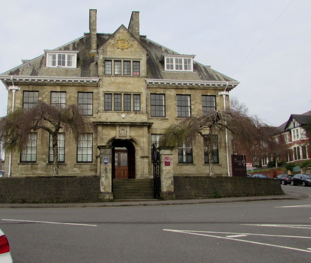
Image: © Jaggery Taken: 13 Apr 2016
Built as the Tredegar Estates office (1905) https://www.geograph.org.uk/photo/3236437 the building was later used as a magistrates court. Now in use as offices. Grade II Listed in 1980 as an impressively designed former estate office which has retained its original character and detail.
Images are licensed for reuse under creativecommons.org/licenses/by-sa/2.0
Image Location
Latitude
51.59018
Longitude
-3.000718