Kingston Road
Introduction
The photograph on this page of Kingston Road by Ian Capper as part of the Geograph project.
The Geograph project started in 2005 with the aim of publishing, organising and preserving representative images for every square kilometre of Great Britain, Ireland and the Isle of Man.

There are currently over 7.5m images from over 14,400 individuals and you can help contribute to the project by visiting https://www.geograph.org.uk
Kingston Road
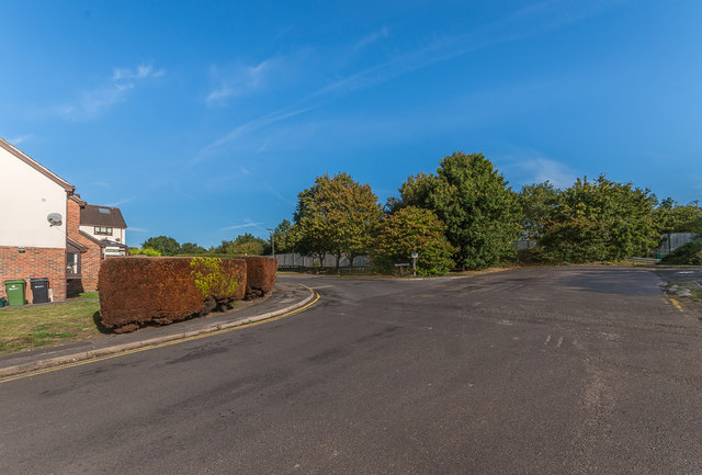
Image: © Ian Capper Taken: 13 Sep 2019
A section of Kingston Road, truncated when the M25 was built here in the 1980s, in a cutting behind the fence in the background. On the left is Teazlewood Park, built on part of the Leatherhead Golf Course cut off by the building of the motorway.
Images are licensed for reuse under creativecommons.org/licenses/by-sa/2.0
Image Location
Latitude
51.313907
Longitude
-0.332671