Path on Malvern Common
Introduction
The photograph on this page of Path on Malvern Common by Philip Halling as part of the Geograph project.
The Geograph project started in 2005 with the aim of publishing, organising and preserving representative images for every square kilometre of Great Britain, Ireland and the Isle of Man.

There are currently over 7.5m images from over 14,400 individuals and you can help contribute to the project by visiting https://www.geograph.org.uk
Path on Malvern Common
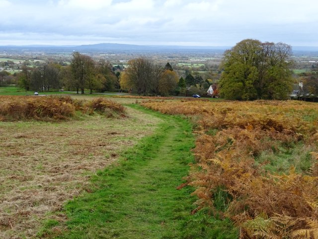
Image: © Philip Halling Taken: 12 Nov 2019
Path on Malvern Common passing uncut bracken on the right, while it has been cut on the left. Bredon Hill can be seen in the distance.
Images are licensed for reuse under creativecommons.org/licenses/by-sa/2.0
Image Location
Latitude
52.095045
Longitude
-2.331745