Wymondham Ford
Introduction
The photograph on this page of Wymondham Ford by John Walton as part of the Geograph project.
The Geograph project started in 2005 with the aim of publishing, organising and preserving representative images for every square kilometre of Great Britain, Ireland and the Isle of Man.

There are currently over 7.5m images from over 14,400 individuals and you can help contribute to the project by visiting https://www.geograph.org.uk
Wymondham Ford
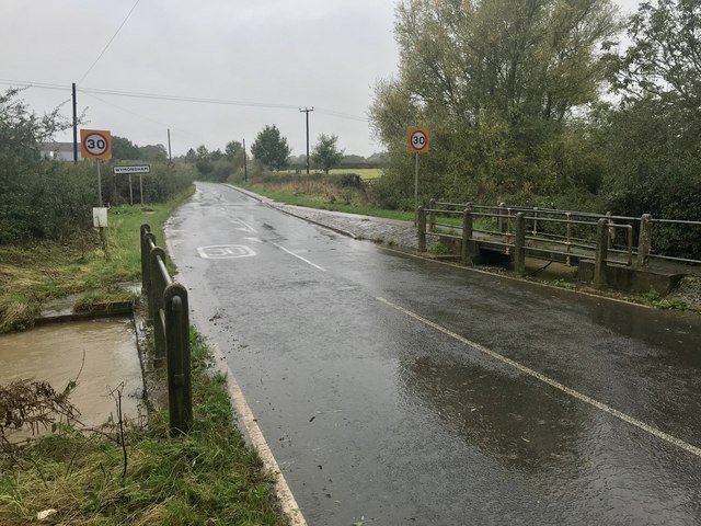
Image: © John Walton Taken: 13 Oct 2019
This culverted ford in full flow is found on the main road leading into Wymondham. There is a footbridge available for those occasions when the stream floods.
Images are licensed for reuse under creativecommons.org/licenses/by-sa/2.0
Image Location
Latitude
52.758592
Longitude
-0.732558