Northroad Farm - houses
Introduction
The photograph on this page of Northroad Farm - houses by Robin Webster as part of the Geograph project.
The Geograph project started in 2005 with the aim of publishing, organising and preserving representative images for every square kilometre of Great Britain, Ireland and the Isle of Man.

There are currently over 7.5m images from over 14,400 individuals and you can help contribute to the project by visiting https://www.geograph.org.uk
Northroad Farm - houses
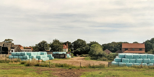
Image: © Robin Webster Taken: 14 Sep 2019
An earlier house on the left with a tall chimney, and a recently built house on the right.
Images are licensed for reuse under creativecommons.org/licenses/by-sa/2.0
Image Location
Latitude
53.122119
Longitude
-0.817828