Housing development off Newtown Road, Worcester
Introduction
The photograph on this page of Housing development off Newtown Road, Worcester by Chris Allen as part of the Geograph project.
The Geograph project started in 2005 with the aim of publishing, organising and preserving representative images for every square kilometre of Great Britain, Ireland and the Isle of Man.

There are currently over 7.5m images from over 14,400 individuals and you can help contribute to the project by visiting https://www.geograph.org.uk
Housing development off Newtown Road, Worcester
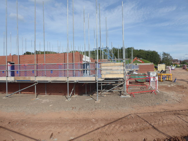
Image: © Chris Allen Taken: 21 Aug 2019
A new housing development that is accessed off a bridleway. It is currently only single track by Newtown Road but perhaps it is intended to widen it to the fence line of the properties on Aconbury Close.
Images are licensed for reuse under creativecommons.org/licenses/by-sa/2.0
Image Location
Latitude
52.195342
Longitude
-2.184291