Rawton Walls Bridge south-east of Marple, Stockport
Introduction
The photograph on this page of Rawton Walls Bridge south-east of Marple, Stockport by Roger Kidd as part of the Geograph project.
The Geograph project started in 2005 with the aim of publishing, organising and preserving representative images for every square kilometre of Great Britain, Ireland and the Isle of Man.

There are currently over 7.5m images from over 14,400 individuals and you can help contribute to the project by visiting https://www.geograph.org.uk
Rawton Walls Bridge south-east of Marple, Stockport
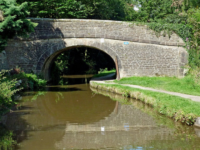
Image: © Roger Kidd Taken: 7 Sep 2014
Rawton Walls Bridge is No 21 across the Upper Peak Forest Canal. It carries Plucksbridge Lane, but Hollinswood Lane off to the left is no longer continuous for vehicles as far as Ridge End.
Images are licensed for reuse under creativecommons.org/licenses/by-sa/2.0
Image Location
Latitude
53.379569
Longitude
-2.053928